At 7,821 km (or is it 8,030 km?), it’s the world’s longest national highway. Or maybe not, since the Trans-Siberian Highway and Highway 1 in Australia seem to have competing claims. At least it’s one of the longest national highways. I think we can all agree on that.
The highest point on that stretch from Victoria to St. John’s? Not surprisingly, it’s on the continental divide, in the Kicking Horse Pass on the BC/AB border, where it crests at 1,643 metres. (Are there any competing claims? No? Then let’s carry on.)
What things are must-see’s along its route? The official website suggests 14 stops that you might want to consider, which amounts, on average, to a stop every 558 (0r 573) km or so, but you are welcome to stop more frequently if you choose.
The website’s “more complete history” is all of that, starting in the 1500s with explorers arriving in Canada and saying, “Gosh, wouldn’t a highway to the other coast be a good thing?”
OK, maybe not, but the history presented on the website really does start in the 1500s. Other notable dates:
1949 – Passage of the Trans Canada Highway Act
1956 – Negotiation of a federal/provincial cost-sharing agreement (Follow the money!)
1962 – Official completion of the route with the opening of the Rogers Pass. Or maybe this was the opening, but not the completion, which might have happened in 1971.
When exactly the unpaved sections were paved, how the twinning is going, and which highways comprise the Trans Canada Highway in all the provinces are riveting matters perhaps better left to the truly interested.
For me, it’s enough that it’s a national highway (albeit one that misses Labrador and the three territories), and that there are places where there are two more-or-less parallel highways that are both part of the official Trans Canada Highway. Sort of.
The Yellowhead Highway is a major east-west highway connecting the four western Canadian provinces of British Columbia, Alberta, Saskatchewan, and Manitoba. Although part of the Trans-Canada Highway and the larger National Highway System, the highway should not be confused with the more southerly, originally-designated Trans-Canada Highway (Ed.’s note – Bolding added). – Wikipedia
I can’t imagine anyone being confused at this point, can you? Well, except for those folks in St. John’s and Victoria who all seem to think they’re the starting point.
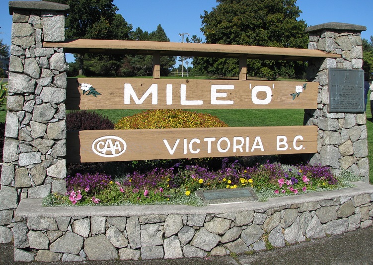
Although there does not appear to be any nationally sanctioned “starting point” for the entire Trans-Canada Highway system, St. John’s has adopted this designation for the section of highway running in the city by using the term “Mile One” for its sports stadium and convention centre complex, Mile One Centre. Likewise, the Victoria terminus of the Trans-Canada Highway, located at the foot of Douglas Street and Dallas Road at Beacon Hill Park, is marked by a “mile zero” monument.
– Wikipedia
Thus, I believe we can say with confidence that the Trans Canada Highway is the only national highway that traverses 7,821 km (or was that 8,030 km?) in going from mile zero to mile one, or vice versa. Damn, we’re good. Let the Siberians or the Australians try that.
Addendum
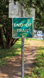
A reader sent me this picture of the sign at Tofino, which claims to be the Pacific terminus, apparently accepting St. John’s claim to the Atlantic origin. This also illustrates the odd nature of this highway, with its various spurs and roughly parallel routes. Does Victoria know about this? Only in Canada, eh?
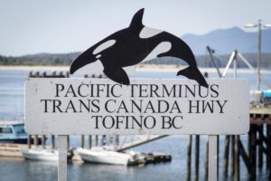
Photo courtesy of Jim Robertson, Ottawa